
GIS Mapping
View your assets, data, and infrastructure in a whole new way with our advanced mapping software. The database refreshes every time information is changed or added so it streams to our clients rapidly and precisely. Various layers of data can be attached to tracts and revealed through visual imaging and reports.
Our GIS Service We Provide Our Clients On Every Project
The GIS mapping industry has changed. Gone are the days of static maps, replaced with live data that updates in real time. You can now see all of your data, live, with our advanced system that flawlessly integrates database and map visuals. Our database refreshes every time information is changed or added, so it streams to our clients rapidly and precisely.
Map the energy industry like never before
GIS Broker Mapping Solution
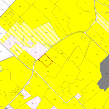
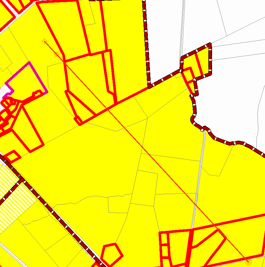
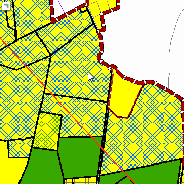
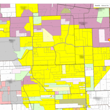
Easily find, manage, and create maps that give you a 360-degree view of all Oil and Gas Leases, Title Opinions and more for the entire project.
Know What’s Coming
Display from Surface Use, Title Opinion/Curative Status, Offset, ORRI, Non Operated Working Interest, and more. We’ve developed a map that displays all of this for each tract in your area. If we capture it we can color it. Maps are worth more than a thousand words.